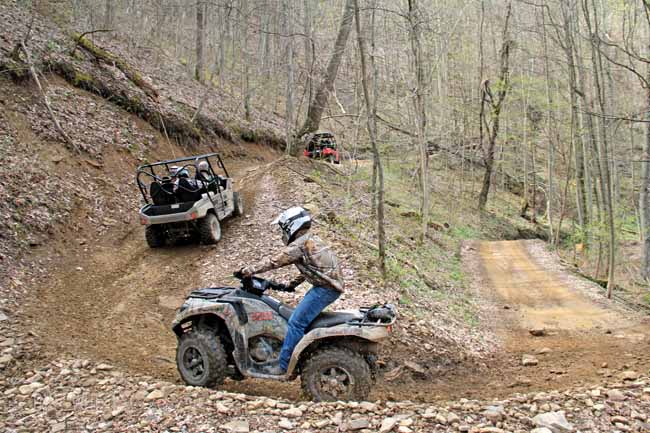
BRAMWELL, W.Va. — A section of the Hatfield-McCoy Trails will close in December as an active mining operation expands. The Pocahontas Trail System in Mercer County will be closed December 3rd, but Executive Director Jeff Lusk says it won’t be down for long.
“We’re going to have to move that system,” he explained. “Next spring, we’ll bring a new system on line which will still be the Pocahontas Trail System and connect into the town of Bramwell,. But it will be further away from the active mining operations and we do it for the safety of our riders.”
Lusk said the shift from one series of trails to another isn’t uncommon and is actually part of the unique design for the Hatfield McCoy Trails’ shared partnership with private land owning companies. The agreements allow for riding until extraction operations start up or expand. Over the two decades the trails have been active, relocating trails has been common to make way for mining or timbering operations. The closure on December 3rd will come near the end of the most popular riding season.
“We don’t want our riders in or near those operations,” said Lusk. “We don’t want to get in those folks way because those mining operations are economic development.”
The trails are clearly marked within the Hatfield McCoy System and any trails which would lead to an active operation have already been closed off. But Lusk worried about a much bigger problem. The advances in technology enabled some to create their own GIS maps of trails both on and off the Hatfield McCoy System. The maps, which in most cases cover vast tracts of privately owned property, are uploaded to the Internet and in some cases riders not associated with the Hatfield McCoy Trails are using those as a guide, often at their own peril.
“What they don’t understand is the people who created those (maps) are sometimes sending you into what might be dangerous areas,” Lusk explained. “They often upload the maps, but topography and conditions change on surface mines. You might be following the map down an gentle slope on a mountain and suddenly the trail is replaced by a high wall.”
There’s a serious concern for Lusk those unauthorized riders might be hurt or killed in those areas using suspect maps. His agency has no control over those riders who are trespassing. He fears however, it could potentially jeopardize the trail system’s future.
“We have been granted by these companies the ability to do this recreation in an approved, authorized manner,” he explained. “We don’t want to jeopardize that by going out there and exploring something that is not on the trail.”