
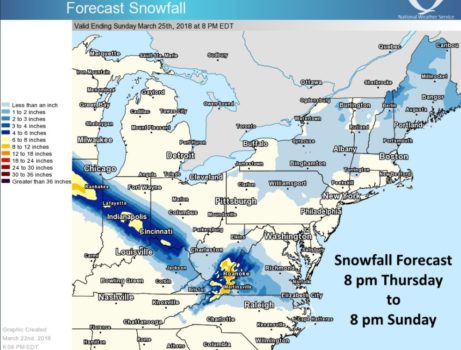
CHARLESTON, W.Va. — Saturday could turn into a tale of two weather days in West Virginia.
All counties generally north of Braxton County were expected to stay largely dry while a weather system packing rain and some potentially heavy snow moved through southern West Virginia, according to the National Weather Service.
“It’s going to be coming in during the morning hours, pretty much after daybreak (Saturday),” said Tom Mazza, an NWS meteorologist in Charleston.
Because of warmer daytime temperatures, the precipitation was not forecasted — as of Friday — to change much from rain south and west of Charleston, though snow was possible.
Moving east, “You get into the mountains, you get into higher terrain. Over the higher terrain, you have lower temperatures. It’ll be below freezing so, there, the spring solar insolation is not as effective and you will get some accumulations,” Mazza said.
As of Friday morning, Winter Storm Watches were scheduled to take effect on Saturday morning in several counties: Summers, Mercer, Monroe, Greenbrier, southeast Raleigh and southeast Fayette.
A Winter Storm Watch indicates the potential for significant snow, sleet or ice accumulations that could affect travel.
“This storm is going to last into Saturday night, so you kind of get back under the cover of darkness,” Mazza said on Friday’s MetroNews “Talkline.”
“As a result, in the mountains, we have a general area of four to six inches that covers much of southeast West Virginia and even the Greenbrier Valley.”
Pockets of six to eight inches were possible locally there as well, he noted.
The snow could be wet and heavy potentially leading to downed trees and power lines.
Saturday’s storm was not expected to become another Nor’easter after moving offshore.
That was not the case earlier this week when more than 12 in. of snow fell in parts of Greenbrier County along with portions of counties in the Eastern Panhandle out of a storm system that became New England’s 4th Nor’easter of March.
As of Thursday, Elkins had recorded 21.3 in. of snowfall for March compared with normal March snowfall of 9.7 in., according to the National Weather Service.
At that point before the Saturday snow, Beckley was at 16.1 in., more than 10 in. above normal for March, while Bluefield had seen 15.3 in. of snow for a month when 3.3 in. of snow is considered normal.