

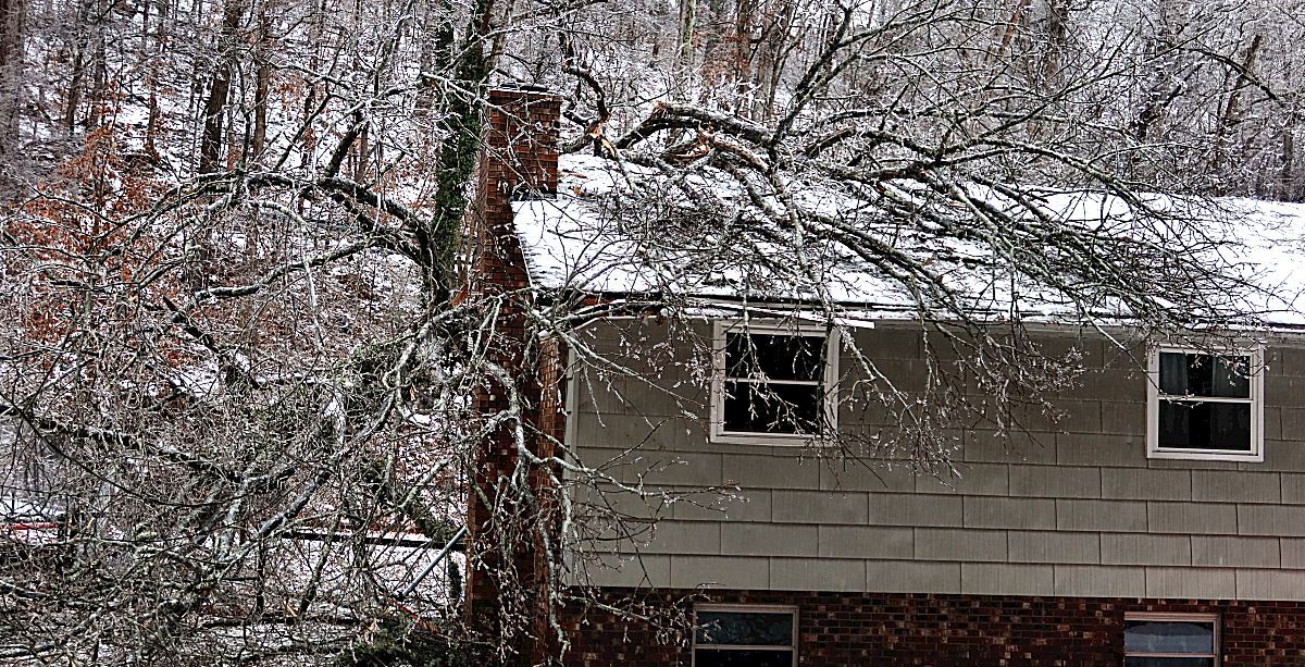
CHARLESTON, W.Va. – Winter weather blankets West Virginia as a major winter storm continues to push through, leaving snow and ice in its wake.
With heavy snow accumulations to the north and ice covering much of the southern and central parts of the state, conditions are still hazardous in many areas.
“The big story has been the ice, especially across central West Virginia and southern West Virginia. We’ve had anywhere from about a tenth to a quarter-inch of ice across those areas,” National Weather Service meteorologist Joe Curtis told MetroNews.
Snowfall in the northern portion of the state is generally between two and four inches, but higher elevations are seeing more after Saturday’s first burst of precipitation.
“In the higher elevations of the mountains, we’ve had some pretty good snow totals up there; six-plus inches of snow in the higher elevations,” Curtis said.
The West Virginia Department of Transportation released information on Sunday encouraging residents to avoid travel when possible because the combination of snow, sleet, and freezing rain resulted in icy roads around the state. Road treatment is ongoing, but the DOT says ice is a different beast to tackle.
“What makes treating ice harder than snow is that the ice itself accumulates quicker. Ice also doesn’t leave as many visual cues. A road may look clear and wet but be very slick from ice,” West Virginia Division of Highways State Highway Engineer Jake Bumgarner said in the release.
The forecast does not bode well for road conditions getting much better. A warming trend in the afternoon may give some hope, but the Division of Highways indicates that cold temperatures Sunday night will make for bad roads, and Curtis agrees.
“Even while things are melting this afternoon briefly, it still is slick outside, and then when the temperatures plummet overnight, everything is just going to turn back into a sheet of ice,” he said.
The accumulation of ice is causing problems for utilities as well, with Appalachian Power reporting 16,000 outages between 2am and 11am on Sunday. The company indicates that continued precipitation, paired with cold temperatures and expected high winds on Monday, is likely to make this a multi-day restoration project.
The ice and snow that result from the storm are not likely to disappear quickly thanks to frigid conditions continuing through the week.
“It’s going to be extremely cold tomorrow night into Tuesday morning, and then the rest of the week, it’s going to be below freezing, so the slick conditions are going to last pretty much all week,” Curtis said.