

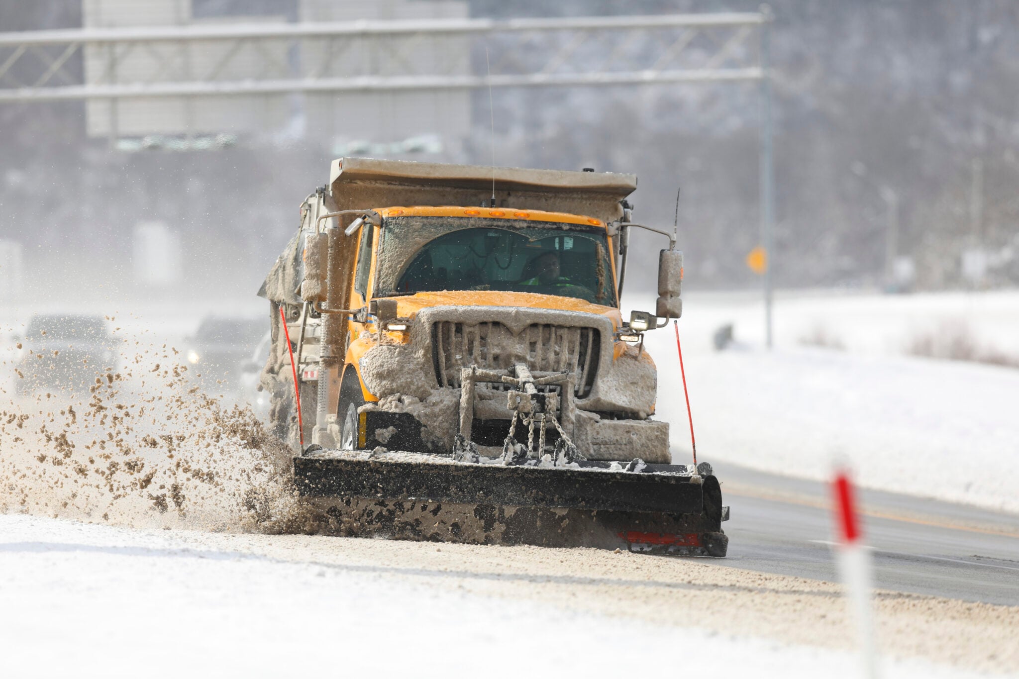
CHARLESTON, W.Va. — There’s now a winter storm watch posted for West Virginia associated with the storm everyone is talking about.
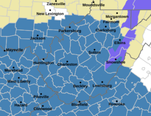
The National Weather Service issued the watch Wednesday afternoon for a the storm that’s expected to arrive this weekend, according to NWS Meteorologist Joe Curtis.
“There’s increasing potential for a significant winter storm this weekend,” Curtis told MetroNews.
The watch is for Saturday morning through Monday morning.
“It looks like, at least for the lowlands, there could be 5 to 10 inches of snow and for the mountains, there could be around a foot of snow this weekend,” Curtis said. “So this is going to cause some big travel impacts from late Saturday, through Sunday and potentially into Monday as well.”
The models the weather service uses have been in disagreement concerning the track of the storm. Curtis said the actual track will determine final snowfall totals.
“If the storm is farther to the south there’s potential we may see a little less snow but the if the track goes right through our area we could see quite a bit of snow, perhaps up to a foot, and then if the track of the storm is a little farther north then we could have some ice mix with the snow which would cut down on our snow totals.”
Curtis said they posted the watch 36 hours early to get the word out to residents.
“We put out the watch because we do have growing confidence that there’s going to be a lot of impact across the area, travel impact, whether it’s all snow, whether it’s ice mixed in, we are probably going to see a lot of travel impact with this storm.”