

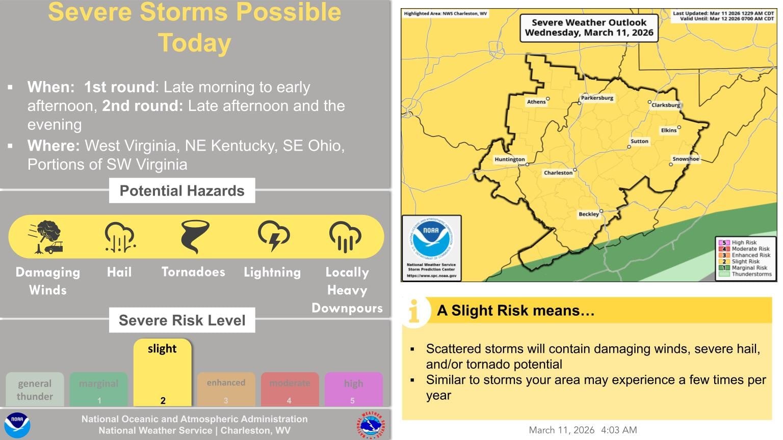
CHARLESTON, W.Va. — The National Weather Service has issued a tornado watch for the western half of West Virginia until 5 p.m.
Counties included in the watch are Braxton, Brooke, Cabell, Calhoun, Clay, Doddridge, Gilmer, Hancock, Jackson, Kanawha, Lincoln, Marshall, Meson, Ohio, Pleasants, Putnam, Ritchie, Roane, Tyler, Wayne, Wetzel, Wirt, and Wood Counties.
“We’re not going to have much of a break once it gets started. Our first round of storms will be early to mid-afternoon, and then the break of two or three hours before we get another round of storms moving west to east,” said MetroNews Meteorologist Bryan Hughes.
The forecast calls for a threat of damaging winds, large hail, and perhaps a few tornadoes possible. Storms will also contain heavy downpours, and could cause localized flooding, mainly in poor drainage areas.
“We have all threats on the table today,” Hughes continued. “Large hail possible with some of the strongest storms. Damaging wind gusts are for sure. Then there’s that isolated tornado threat, and if you get one big storm that moves across and there’s another one coming we have a flash flood watch that is a threat today.”