

MORGANTOWN, W.Va. — MetroNews Meteorologist Bryan Hughes believes our current weather pattern could result in a very dry and windy week.

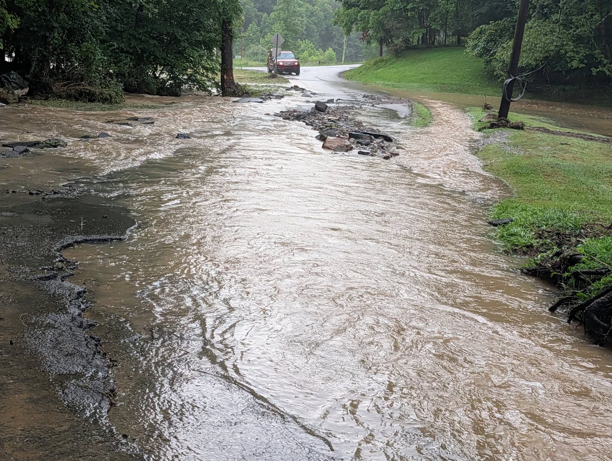
Thunderstorm activity rolled through Morgantown early to mid-afternoon Monday, and Hughes said more storms are expected overnight. The storms are expected to have high winds and create the possibility for intense showers that could lead to flash flooding.
“We still have a chance for a couple of strong thunderstorms (Monday afternoon),” Hughes said. “Right now the line that has moved through is eating a lot of the energy in the atmosphere.”
This pattern is similar to the system that brought the derecho to West Virginia in 2012. This pattern has all of the ingredients, but Hughes believes if a derecho does form with these storms, it’s unlikely it will be as powerful as the one more than ten years ago.
“Over the next three days is round after round of lines of storms that are fairly large,” Hughes said. “This pattern is conducive to derechos moving through—nothing like the 2012 derechos, but smaller versions of them.”
Each day through Thursday Hughes said the chance for severe weather is in the forecast. Wind, heavy rains that could cause flash flooding, and possibly a tornado could be a part of the weather forecast for the week.
“We do expect over the coming days we are going to have a number of severe thunderstorm watches and severe thunderstorm warnings because of the very heavy winds that are going to be associated with these storms.”
El Niño is when ocean temperatures across the central and eastern tropical Pacific Ocean warm significantly; that leads to a broad influence on the weather across the world. Some scientists believe this could be one of the most powerful El Niño periods since weather records have been kept.
“This is a pattern we haven’t seen in a long time,” Hughes said. “Because we are now in an El Niño pattern, which is going to help bring more moisture into the region, and normally we should be very dry this time of year.”