

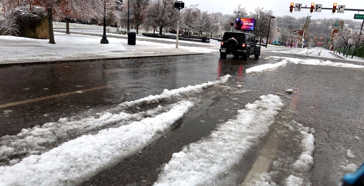
CHARLESTON, W.Va. — West Virginia is going to be in the deep freeze for the next week.

“We’re going to be in the single digits, either side of zero, just about every night this week and we have a reinforcing shot of cold air coming this weekend,” National Weather Service Meteorologists Tony Edwards told MetroNews Monday.
Thursday, Friday and Saturday nights are forecasted to be the coldest.
“This is a cold outbreak that we haven’t seen in quite some time so folks need to be prepared and mindful that it’s going to be a while before we get out of this,” Edwards said.
A number of warming shelters are being set-up across the state. Kanawha County Emergency Management Director C.W. Sigman said he hope residents use them, especially those in his county who are experiencing power outages.

“We are going to have canvas neighborhoods (where the power is off) to make sure those folks are okay,” Sigman said.
Edwards said several nights near zero can create problems.
“Anytime you get overnight lows below about 10 degrees, especially for a prolonged period of time, that starts to freeze up water lines. We even have an issue that the shallow creeks and rivers will start to freeze up as well. So any municipalities that draw from those shallower rivers will have issues with that,” Edwards said.
Sigman said he’s concerned about increased fire risks with residents using alternate heating sources.
“We’ve been in several homes recently putting in smoke alarms and carbon monoxide alarms for them. They’re using space heaters, they’re using fireplaces as a primary source of heat and it kind of scares me,” Sigman said.
Weather impact
Campbell said the arctic air was squeezing out what moisture was left in the atmosphere producing snow flurries across the state Monday that could leave behind a fresh coating of snow.
He said Kanawha County saw the most ice from the storm.
“It switched over a little bit quicker to freezing rain. I live in Putnam County and we had a lot more sleet, so just the difference of one county over mattered,” Edwards said. “I think it was that little bit longer period of time where the freezing rain mixed in sooner and that just allowed those ice accumulations to grow that much more.”
Edwards said the warm wedge dominated almost the entire state holding snow totals down.
“It roared north. We changed over to freezing rain all of the way to Clarksburg and Morgantown area, only the Northern Panhandle area and Eastern Panhandle area stayed cold enough for snow,” Edwards said.