

CHARLESTON, W.Va. — Relentless thunderstorms pounded West Virginia Sunday.
The storms hit one right after the other beginning Sunday morning and continuing into Sunday night.
Most of the damage Sunday morning came in eastern Kanawha County, Fayette and Raleigh counties.
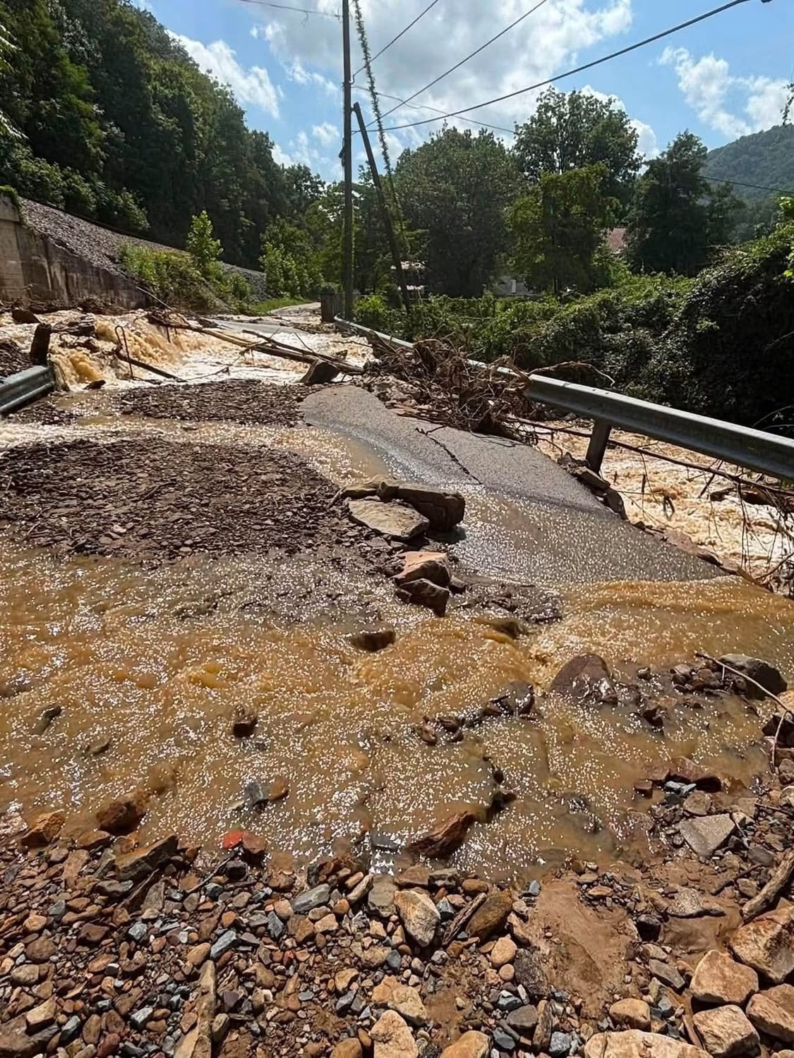
Both Cabin Creek and Paint Creek flooded. High water impacted a number of homes in Pax and Mount Hope in Fayette County. Traffic on the West Virginia Turnpike was impacted by washouts and mudslides.
U.S. Route 60 at Kanawha Falls was damaged with high water that included rocks and mud. The Fayette County Animal Shelter near Beckwith reported its access bridge was destroyed by the high water.
CSX is dealing with washouts along its tracks in eastern Kanawha County between Pratt and Montgomery. The eastbound Amtrak train was forced to stop near Pratt Sunday afternoon. It backed up to the mouth of Cabin Creek where the engine was able to switch ends and head back toward Charleston.
CSX released the following statement to MetroNews Sunday night:
Sunday night storms trained over Kanawha County causing a number of water rescues.
MetroNews Meteorologist Bryan Hughes explained Sunday’s weather system:
-
Steep Hollow Vulnerability:
-
The heaviest axis overlays rugged Appalachian terrain, specifically the Cabin Creek, Paint Creek, Armstrong Creek, and Loup Creek watersheds.
-
Steep slope gradients accelerate runoff directly into narrow valley floors, creating extreme flash flooding, culvert washouts, and mud/debris flows.
-
-
Major Drainage Basins:
-
Kanawha River Tributaries: Extreme headwater surges emptying into the upper Kanawha River between Marmet and Montgomery.
-
New River Gorge: Severe localized tributary flash flooding feeding into the New River Gorge between Fayetteville and Thurmond/Cunard.
-