

CHARLESTON, W.Va. — The National Weather Service said there’s a chance for more heavy rain in West Virginia through midweek.
National Weather Service Meteorologist Gabe Wawrin said the rain pattern could dump showers and thunderstorms during the afternoon and evening hours Monday, Tuesday and Wednesday.
“We have a feed of moisture coming up from the Gulf (of Mexico),” Wawrin told MetroNews. “Across our local area, we have this boundary that’s kind of oscillating back and forth across the region and that kind of serves as the focusing mechanism for these showers and storms that are enhanced during the afternoon and evening hours because of daytime heating.”
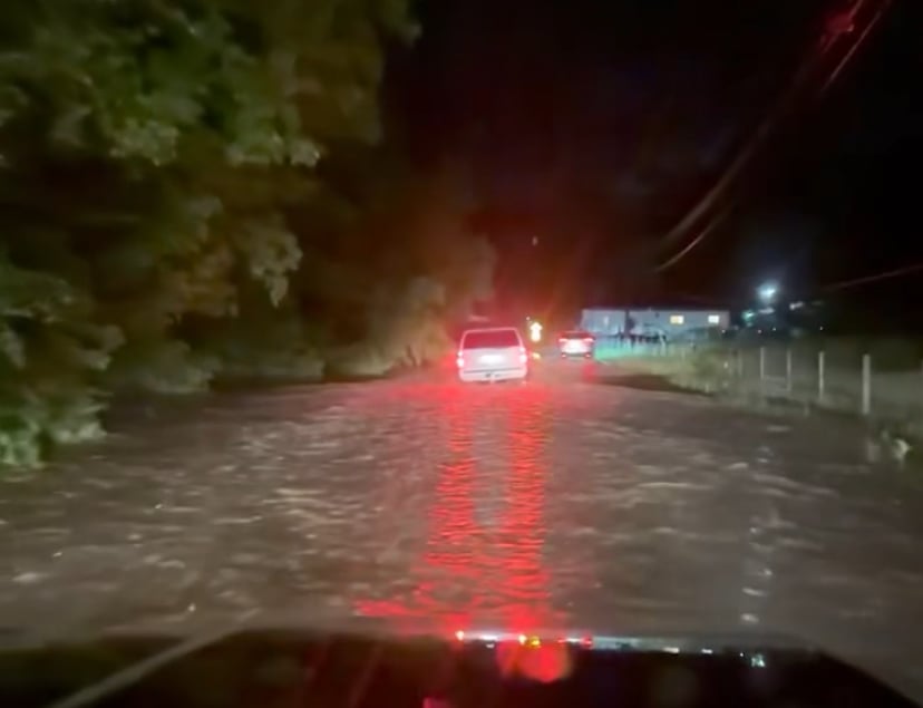
The NWS had a flood warning in effect for parts of Barbour, Upshur and Harrison counties into the early morning hours Monday. There was high water reported in Barbour County. Water also flooded streams in the Lost Creek area of Harrison County.
Wawrin said it’s possible other areas could see that kind of rain. He said the pattern has shifted to the southeastern part of the state.
“That could result in localized flash flooding in portions of southern and eastern West Virginia and once we get past that it’s going to be active Tuesday and Wednesday as well looking at additional showers and thunderstorms,” Wawrin said.
When the rain pattern began last Thursday the action was in the Mid-Ohio Valley and the Northern Panhandle but that has shifted to the south, Wawrin said.
“We had a heavier stripe of precipitation into the Parkersburg area and northeast but now much further south, from southwest Virginia through southern West Virginia through the Clarksburg and Elkins area got into the action as well,” Wawrin said.
Some isolated areas have seen three inches of rain or more, Wawrin said.